The Echoes of our Mountains
Written by: Moriko Peterson
The Peaks That Define Us
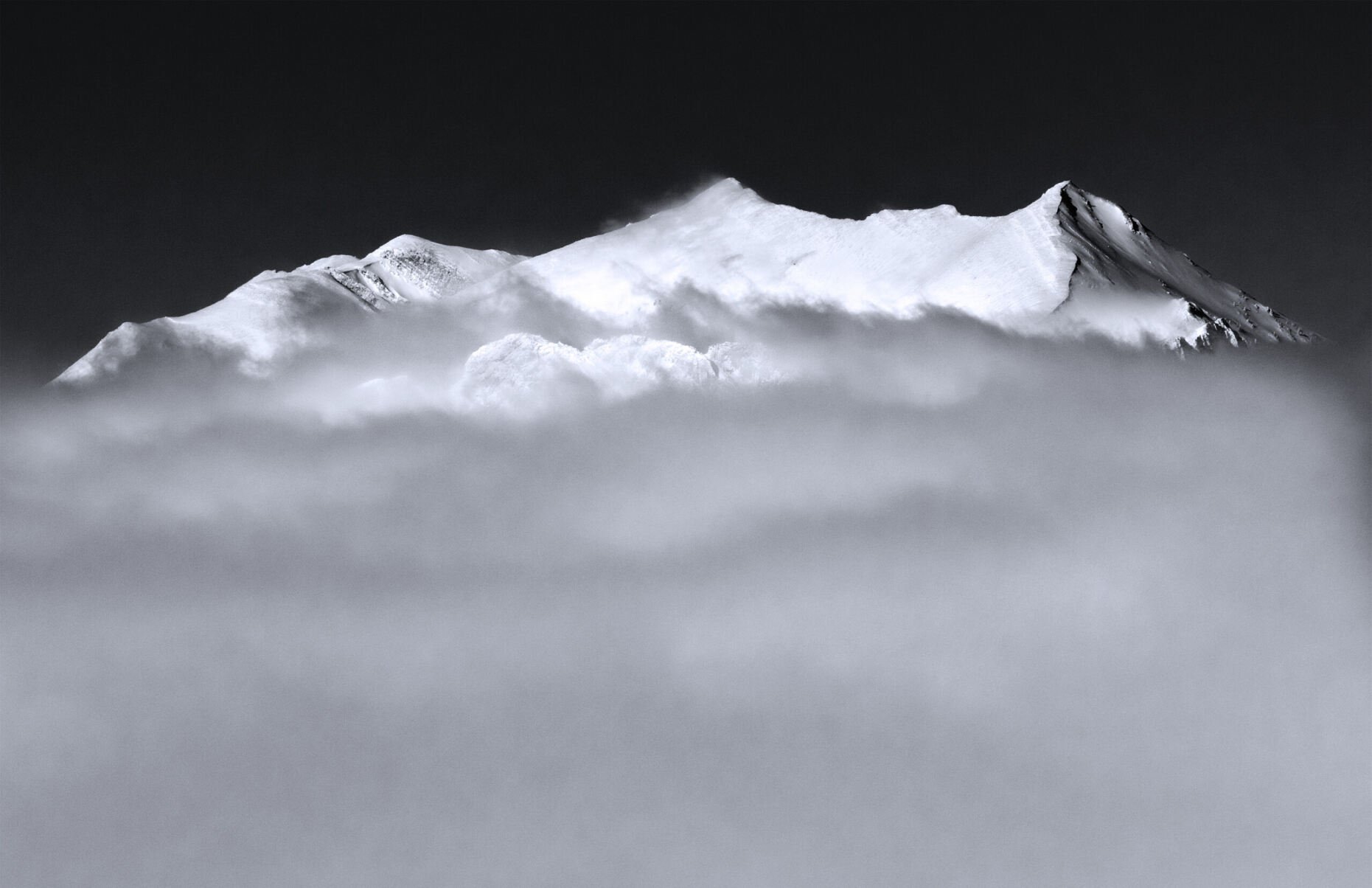
Standing at the base of one of Montana’s towering summits, such as Beartooth Mountain, you cannot help but feel a profound sense of humility as anticipation electrifies the air. Each step along the trail carries the weight of discovery, the flutter of excitement, mirroring the grandeur of the journey ahead. The Rocky Mountains are among the most awe-in- spiring natural wonders in the world, and Montana is home to some of their most breathtaking expressions. Rugged terrain tempts adventurers and thrill-seek- ers alike, daring us to take the mountain’s endless opportunities to hike, climb, and explore. But beyond the challenge, have you ever asked:
what do the names of these mountains reveal about the land and its history?
These stories are etched into the very fabric of the land — through jagged ridges, deep valleys, and soaring summits. Each peak holds a name, such as Sacagawea Peak, Crazy Peak, or even Kings Peak. Behind each name lies a deeper narrative that weaves together exploration, cultural heritage, and shifting perspectives on place and identity. From the Indigenous peoples who first walked this land to the European explorers who charted its expanse, the names of Montana’s mountains have evolved into touchstones that connect us to the past and guide us into the future. In Montana, the act of naming a mountain is a profound task. Naming is not simply about assigning a label to a physical feature; it is an intricate process that reflects a broader history and the cultural significance of the land itself. The U.S. Board on Geographic Names (BGN), established in 1890, plays a crucial role in formalizing these names, ensuring that they are standardized across maps and documents. The board’s careful process involves petitions from local communities, historians, and Indigenous groups, considering both historical accuracy and contemporary perspectives on cultural sensitivity. Generally, as Frank Dougher — a former Gallatin County cartographer — said, the BGN, “tries to go with what the local colloquial terms are, occasionally taking on petitions to take on new names” specifically with unnamed peaks such as the secondary peak at Sacagawea. However, if the peak is being renamed, the BGN will first vote on keeping the original name, then vote once more to agree upon the mountain peak’s new name.
Evolving Perspectives: Naming with Respect
Over time, names of places evolve to reflect the changing values and perspectives of the societies that use them. In many cases, names once accepted by previous generations are now being reevaluated, particularly as awareness of Indigenous histories and cultures grows. The effort to rename places that carry outdated or offensive terms reflects a broader societal shift toward greater respect for Indigenous peoples and their contributions to the history of the land.
In Montana, the renaming of the once known Squaw Creek to Storm Castle is a prime example of this shift.
“Squaw” has long been considered an offensive term in many Indigenous languages, so the effort to rename the creek was rooted in a desire to be more inclusive and respectful of Indegenious heritage. Such changes are not made lightly; according to Dougher the renaming process requires careful historical research, public consultation, and federal approval, all of which ensure that the new names reflect a more accurate and respectful understanding of the land’s original inhabitants.
At the same time, many of Montana’s mountain names, even those given by European American explorers, have historical significance that deserves preservation. For example, Sacagawea, a Shoshone woman who played a pivotal role in the Lewis and Clark expedition, is honored through the naming of Sacagawea Peak, a towering summit in the Bridger Range.
Naya Nuki, the peak directly under Sacagawea Peak, was named by the elementary students a few years ago.
These students petitioned to name the peak after Sacagawea’s childhood best friend, Naya Nuki, because of a required elementary school reading around Gallatin County schools. These names serve as living monuments to the individuals and events that shaped the course of American history. The delicate balance between preserving tradition and embracing change is at the heart of modern cartography, which, according to Oxford Language Dictionary, is the science or practice of drawing maps.
As historian and cartographer William S. Clements once said,
“Maps are not just about locations; they’re about the people who live, work, and connect with these places.”
The ongoing conversations about naming reflect the understanding that maps are not static, they evolve in response to the changing needs and values of the societies that create and use them.
The Challenge of Cartography
In today’s world of (Global Positioning System (GPS) technology and digital mapping, some might assume that naming places is less important than it once was. Yet, accurate naming remains critical. Names are not just identifiers; they hold practical significance for navigation for first responders to recreational backpackers who use a map and compass to traverse the wild landscape. Whether it’s a rescue team heading toward a summit or a hiker crossing a ridge, having clear and accurate place names ensures safety and efficiency in the wilderness.
For Montana, this need for clarity is compounded by the state’s complex geography. The names of Montana’s mountains often transcend simple geography, they embody the history of human exploration, settlement, and interaction with the land. Peaks like Sacagawea Mountain and Pompey’s Pillar, believed to be named after Sacagawea’s baby, are tied to the Lewis and Clark expedition, offering a direct link to this foundational moment in American history. Meanwhile, other mountain names are deeply rooted in Indigenous languages, offering a chance to reflect on the cultural and spiritual significance these places held long before the arrival of American settlers such as the Oregan Trail.
Cartography is not a simple exercise in placing names on a map. It’s a careful balancing act that must consider numerous factors — geographic prominence, visibility, elevation, and even the aesthetics of the map itself. Cartographers must decide which peaks deserve recognition and which names will appear in “bold”, which can range from being culturally or historically important to a town. In a place like Montana, with thousands of peaks — many soaring past 10,000 feet — this is no easy task.
Historically, cartographers used tools like compasses, protractors, and pens to “painstakingly”, as Dougher shares, chart the landscape. Hand-drawn maps were labor-intensive, but accurate, often requiring months or even years of work.
Today, technology has revolutionized the process. Software such as ArcGIS and Adobe Illustrator streamlines the mapping process, but even with the advent of digital technology, cartography remains as much an art as it is a science. ArcGIS enables cartographers to design maps using exist- ing data within the program, while Adobe Illustrator enhances creative elements based on the map’s intended audience. Key decisions, such as font size, layout, and label placement, remain in the hands of the cartographer.
The Human Element of Mapping
While governmental boards and digital platforms play a critical role in the naming process, the human element of cartography cannot be underestimated. Local communities, residents, and even schoolchildren have long influenced the names of Montana’s mountains.
Another poignant reminder of the human touch in cartography comes from the stories of those who have worked in the field for decades.
Dougher shares how, early in his career, he once added a friend’s name to an unofficial map of a nearby summit. It was a lighthearted gesture, but it underscored the deep personal connections people have to the places they chart. Mountains are not just geographic features, they are emotional landmarks, linked to stories of exploration, discovery, and even friendship.
Looking to the Future
As Montana’s mountain ranges continue to inspire future generations of explorers, researchers, and adventurers, the naming process remains a vital part of our connection to the land. Whether it’s studying the topography of a particular peak or hiking to the summit of a long-re- membered name, understanding the history behind these names deepens our appreciation for the landscape.
Looking ahead, Montana’s mountains will continue to evolve — physically and culturally. New names will emerge, old names may be reassessed, and the stories behind those names will continue to shape our understanding of a place. As digital technologies enhance our ability to explore and map these peaks, it is important to remember that the names we assign to our mountains anchor us to the past and to one another. They reflect our shared history, our respect for the land, and our evolving understanding of who we are as people.
Perhaps the most intriguing aspect of modern mapping, however, is the development of digital tools like the Living Atlas, which allows researchers and the public to explore detailed geographic datasets. Platforms such as Data.gov offer extensive data on topography, elevation, and hydrology, enabling a more nuanced understanding of Montana’s landscapes. This digital transformation offers a way to visualize the mountains in new ways, bringing the past and present into conversation and providing a more thorough exploration of how and why mountains are named the way they are.
Montana’s mountains are more than just labels on a map; they are symbols of heritage, identity, and discovery. They speak not only of the explorers who first charted them, but of the people who linger in their shadows, whose stories are intertwined with the land. As we continue to chart new paths, both literal and figurative, we are reminded of the enduring power of names. Through these names, we are connected to the mountains, to the past, and to one another. The mountains will forever echo their name.